Up early to hit the camera store. Contract for them to dump my 256Mb CF card onto a CD — it’s full, and I didn’t want to run out of space. Head back to the Athabasca, ate a wonderful breakfast in their charming dining room, and picked up the CD after breakfast for $12.
According to my route in wayfaring.com,
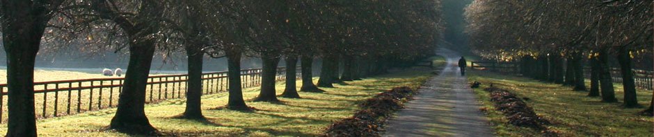
Jasper to Banff is 138.21 mi. An easy 2 hour drive, right? No. Terrain, animals on the road. So much to see. Allow as much time as you can. We first considered driving straight through, Jasper to airport in one day. We are very glad we did not do that!
We got a great map from the Jasper info booth with mile markers out of Jasper where certain items are on the way to Banff. By the time we realized it, we were already several miles out, and resetting the odometer was a bit late, but we knew about how much we were off. Very helpful for locating overlooks etc. Just watch traffic behind you.
Athabasca falls
Mile X
The Edith Cavell Glacier has a 4 mile loop trail, and overlooks an icefield. We wanted to do it, but rapidly realized that we did not have time. Given another day or two, we could have done a lot more short hikes. Consider also the limit to the number of waterfalls you can see a day while remaining sane. But a glacier is a bit different.
Mile Y
Animals on road
Mile Z: Waterfalls along road.
Mile XXX: Columbia Icefield tour
This is one of the major attractions along the route. You are on the tongue of a glacier. This is cool. You must stop.
The large visitor center is across the street from the tongue, along the terminal moraine (the farther extension of the tongue, about 2km from present-day limit.) Eric, true to form, decided to get something to eat, and crammed down the food while we waited for our tour to depart. We gladly helped him with some fries.
We saw people hiking up the glacier. Bummer. We inquired about the hike, and the single trip per day leaves at 10:30A. So if you want to do this (and it looked neat, you just walk up the tongue, following the guide so you don’t fall into a crevasse) you need to get there early to get a spot.
At the time, we exited the rear of the building and waited for our bus. A coach pulled up and we got in; drove across the street, basically, and got out, back into the holding area for the next glacier truck. One pulled up with Calgary Stampede markings, basically a large bus with 6 HUGE tires with huge tread. Inside was all glass, somewhat warm, with metal bars around the glass, looking a lot like a roll cage. The road to the glacier was gravel and packed dirt, and we went very slowly; these beasts don’t have a fast gear. As we descended the 50% grade to the tongue level, I understood why. You need real low gears to get back up.
The truck pulled to a stop at the dock, and we got out to walk around a bit. Dave took his panorama shots, and we all filled our water bottles from the clear cold water running out of the glacier. Hard to describe, really, so I won’t try. Check out the pictures. Even pictures are no good. You gotta be there.
Back to the truck, up the hill at 2mph, and switch to the bus, and back to the Visitor Center. Perhaps a moving walkway ala airports wouldn’t work in this climate, but it sure would save a lot of time waiting to get on and off of buses.